Overview
The Makgadikgadi Pans is located in the Kalahari basin in Botswana. Makgadikgadi and the Nxai Pan National Park are located halfway between Maun and Nata north of Botswana.
Info
The basin is one of the largest salt pans in the world. The Makgadikgadi consists of the Nxai, Ntwetwe and Sowa pans that form a beautiful landscape.
The Makgadikgadi Pans are remains of a lake that formed 5 million years. It gets annual rains and the main water source is the Nata River as well as the Boteti river that runs from the Okavango Delta.
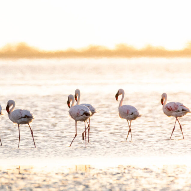
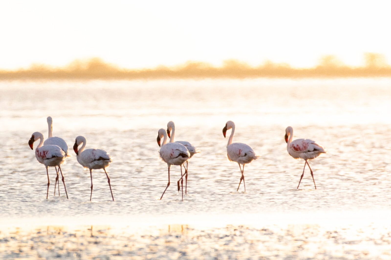
When it rains the Makgadikgadi Salt Pans floods which attract wildlife and flamingos at the Nata and Sowa Sanctuaries. The Zebra, springbok and wildebeest migrate from the Boteti River across to Nwetwe Pan. With the grass good for grazing for these animals, predators in form of cheetah, wild dog, hyena and lion follow.
The famous Baobab trees on Kubu Island in the Nxai Pan National Park is protected as a national monument. During the dry season you can see tortoises, rock monitors, snakes and Lizards including the endemic Makgadikgadi spiny agama as well as bird species.


